The History of South Weber City
South Weber began in 1851 when the Watts and Bybee families arrived in the valley. Originally, it was in Weber County. At first, the only town at the mouth of Weber Canyon was East Weber or Easton, and it included the areas on both the north and south sides of the river. In 1855, the Territorial Legislature divided Easton in two and gave the area on the north side of the river the designation Uintah. The area on the south side was named South Weber. At the same time, the Weber River was designated as the dividing line between Weber and Davis Counties and South Weber was put in Davis County. The Town of South Weber was incorporated in 1938, and on 16 March 1971, with the population of 1,073, became a Third Class City. Joseph Staples was the President of the Town Board when South Weber was incorporated and LeRoy Poll became the first Mayor when the City was granted Third Class status.
- Demographics
- The Windy City
- The Story of Bigfoot
- Country Fair Days
- Recreation
- Historic Cemetery
- Morrisite War
- Personal Histories

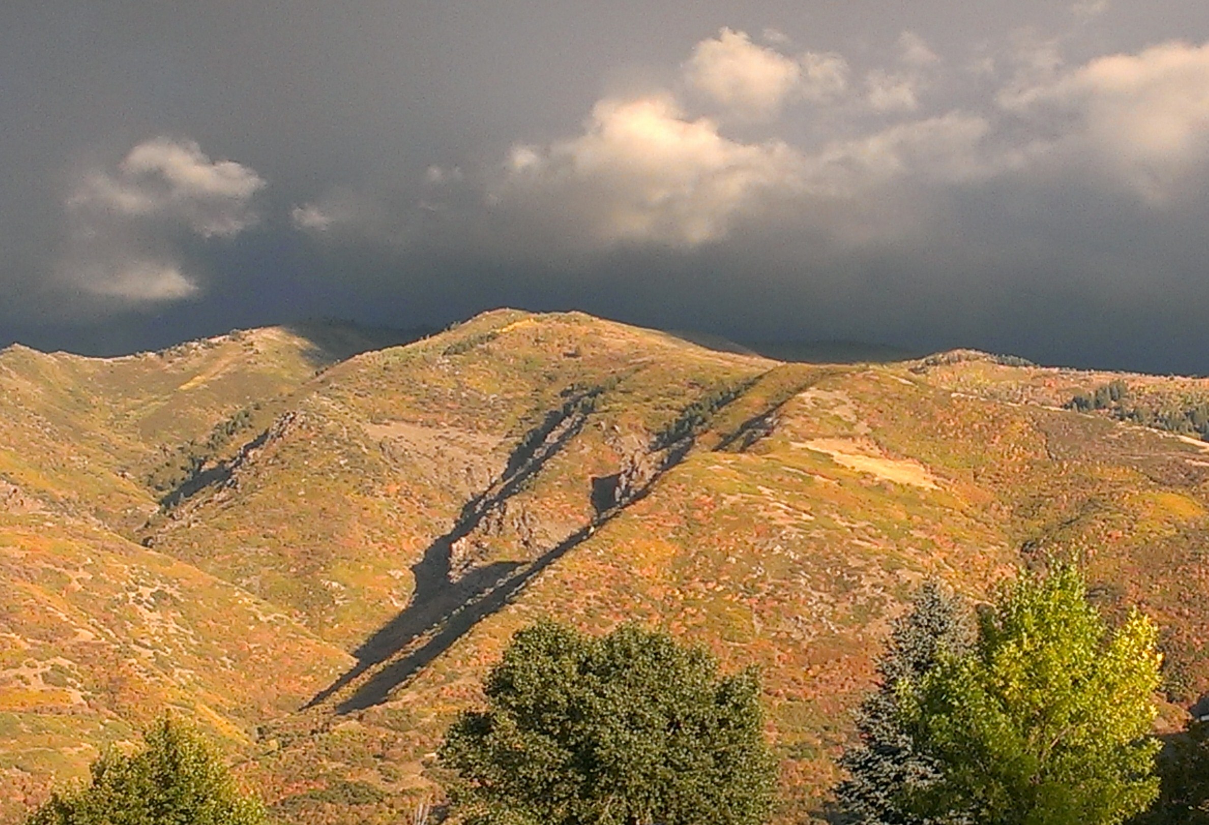
South Weber is a beautiful city with the perfect combination of scenery and small-town charm. With a current population of about 8,000 residents, 40% of those children, South Weber is expected to stay under 14,000 residents. South Weber is home to two school, South Weber Elementary serving K-6 and Highmark Charter School serving K-9. The geography of South Weber, nestled against the mouth of the Weber Canyon to the east, the Weber River to the north, a bluff to the south and a narrow passage into Riverdale to the west, means that growth will be limited. Residents of South Weber enjoy many trails both within the city and in neighboring areas. See the latest census results for South Weber City here.
You don’t have to be in South Weber long to notice that the trees all lean a little bit (or a lot!) to the west. This is thanks to the winds that come in from the mouth of the canyon. Wind speeds can get quite high, but it is usually reserved for the evening hours from about 10pm until 6 am. While this does add a little bit of difficulty regarding garbage and watering lawns – its not without it’s benefits. South Weber has very few misquitos and flies…the wind blows them all away!
If you have visted the west end of South Weber, you may notice a statue of BigFoot on a resident’s property. This statue has become beloved by the community. He dresses up for Halloween, you may see him wearing a hard hat during times of construction and even a mask during the pandemic. But why is he there??
Well, that’s because according to several witnesses, he was here! Read more about the story below:
Bigfoot Encounters article
BFRO Media Article
Deseret News Article June 2009
A Week Long Celebration!
Country Fair Days began in 1976, put together by our long-time resident Kathy Poll. Since its inception, many hands have come to the table to make this beloved tradition live on. Country Fair Days takes place the first week of August every year and is well known as the best week of the year! Country Fair Days is a wonderful opportunity to get to be with your friends and neighbors and enjoy all the activities.
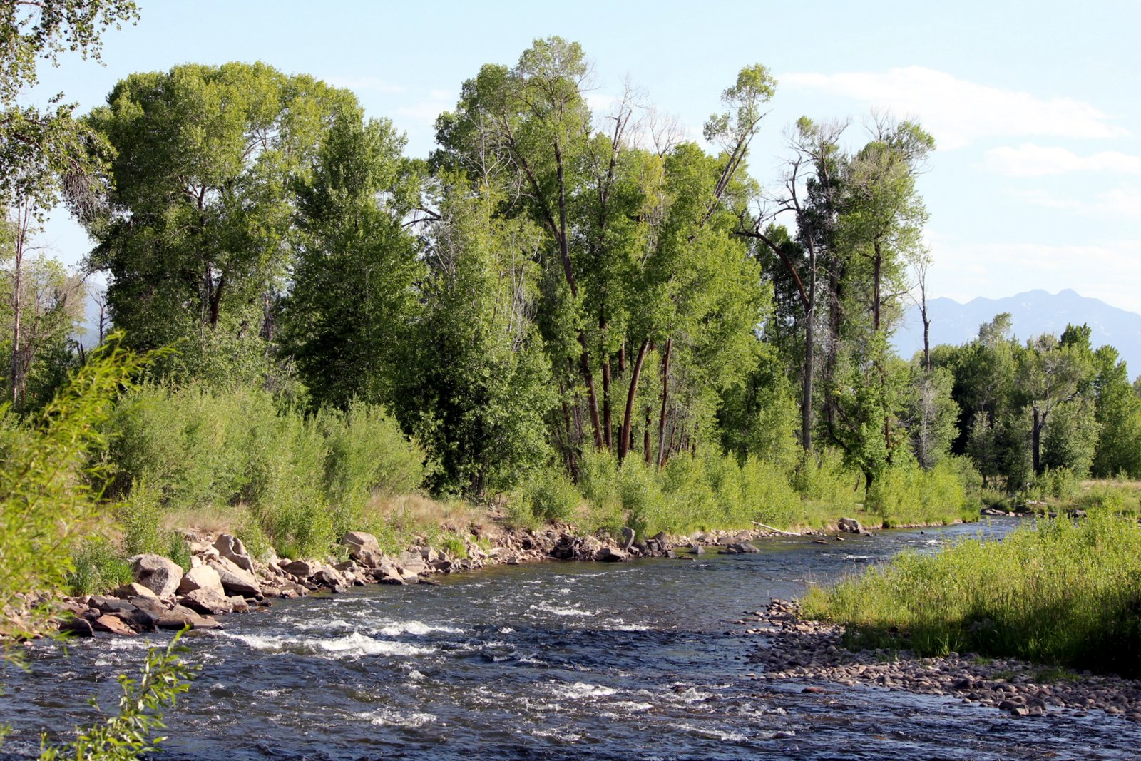
South Weber has lots of opportunity for recreation for the outdoor and sport enthusist. Check out our rec programs for youth or see our classes at our Family Activity Center. If fishing is your game, be sure to visit the fisherman’s access on the east side of the city near Highway 89. If you enjoy biking or hiking, you’re in luck! Planning is underway to connect the Bonneville Shoreline trail with the Weber Pathways trail (currently on the west end of the city off Cottonwood Drive) creating a 220 mile network of trails for biking, walking and hiking! South Weber has many parks. Canyon Meadows, located on the west end, is currently under construction to bring in new pickleball courts, a tactical bike course, baskebatll courts and more! Also brand new to South Weber is our Dog Park, located next to the Posse Grounds.
The South Weber Pioneer Cemetery was started as a private facility on the Firth property. It is believed that the cemetery was abandoned after 1927 because of a high water table, due to the Weber/Davis Canal.
Cemetery maintenance was a Scout project and a community service project for many years. The U.S. Army Reserve united worked on restoring the cemetery from 1973-1975. Then, in the late 1970’s it was deeded to the City of South Weber (once they reached 3rd class city status) by former owner Brent Winchester, and they maintain the lawns and irrigation system. Grave maintenance is currently a family responsibility.
The Cemetery is located south of the Old Morrisite Fort. There is at least one burial from the White on White War of 1862.
The Morrisite War took place near the banks of the Weber River on the west end of South Weber. There is a memorial placed at the location of 475 E and Old Fort Road.
In June of 1862, a posse of 500 men stood on the bluffs in Weber County near Kingston Fort with cannons set ready to fire on nearly 500 disciples of prophet and leader Joseph Morris. A firefight would soon breakout killing Morris and a number of his followers. Read more of this battle story below.
Interesting fact – a resident in South Weber has an original cannonball from the Morrisite war!
Utah Humanities Article
BYU Scholars Archive – Henry Orville Holly Student Thesis (1966).
Utah History Encyclopedia


